
Tracing a Royal Palm Beach Street
A sound street-by-street search separates land records from evidence of occupancy. Start with the exact address if one is known. If only a road name is available, use partial-address suggestions in Palm Beach County Property Appraiser Public Access, known as PAPA, or pan across parcel outlines in the county map. The result gives a Parcel Control Number, or PCN, which is the county's stable identifier for the parcel. Copy it before moving between systems.
The street directory trail then moves from the assessed parcel to its recorded history. The owner name and sales citation on PAPA lead to the Clerk's deed index. Voter files and reverse directories can add resident clues, but neither is a full household census. Work in this order:
- Enter the situs address in PAPA. Save the owner name, PCN, legal description, municipality, mailing address, and latest sale book and page.
- Open the PAPA GIS Base Map. Confirm the highlighted parcel, then click the next lots to follow the same side of the road.
- Use the Clerk's Official Records Search to retrieve deeds by owner, instrument number, book and page, parcel ID, or legal description.
- For voter information by geography, submit a defined public-record request to the Supervisor of Elections. The individual My Status form is not a browse-by-street tool.
- For an older listed occupant, consult a reverse directory at a county library. The Royal Palm Beach historical directory collections explain the documented volumes and their limits.
This sequence can establish who owns each lot and where named people appear in separate public records. It cannot prove that a person is still present today. Check record dates and never merge people merely because surnames or house numbers resemble one another.
Royal Palm Beach Address Search Fields
PAPA is the main entry to a modern Royal Palm Beach street directory search. Its real-property tab accepts one primary criterion, and autocomplete helps resolve the county's preferred address wording. Owner Name expects “Last Name First.” Address means the physical or situs location of the land. PCN is best when a street name, postal city, or spelling has changed.
| PAPA field | Input | How it helps |
|---|---|---|
| Owner Name | Autocomplete text | Finds parcels vested in a person, trust, or entity. |
| Address | Autocomplete text | Finds the physical site by number and street. |
| PCN | Parcel number | Returns one parcel without relying on postal wording. |
| More Search Options | Expanded criteria | Adds municipality, subdivision, use, and sales filters. |
| Nearby Sales | Vicinity and sale filters | Compares nearby parcels, including a one-mile option. |
A parcel card distinguishes the owner's mailing address from the site address. It may also display values, building traits, sales citations, subdivision and legal description, and a homestead flag. Homestead can support an owner-occupancy inference, but it does not list all occupants.
Records Along Royal Palm Beach Streets
Several address-keyed systems form the street directory chain. Each has a different keeper and legal purpose, so a name in one row should not be treated as the answer to every question.
| Address record | Custodian | Useful evidence | Access route |
|---|---|---|---|
| Assessment parcel card | Palm Beach County Property Appraiser | Owner, mailing and situs addresses, PCN, legal description, homestead and sales | Free PAPA search |
| Parcel and boundary map | Palm Beach County GIS | Adjacent lots, municipality, ZIP, subdivision, zoning, flood and district layers | Free interactive viewer |
| Deeds, liens and plats | Clerk Recording Department | Named parties, legal continuity, transfer dates and street layout | Online index from 1968; Clerk counter for earlier material |
| Voter registration extract | Supervisor of Elections | Nonexempt registrant fields under approved geographic criteria | Written request and possible cost estimate |
| Permits and code cases | Village Clerk, Building and Code Enforcement | Work, applicant, contractor, owner, notices and final liens | Project account or focused records request |
| Reverse directories | Palm Beach County libraries | Listed occupants and businesses under street headings | Library shelves, microfilm and staff help |
The PCN and legal description are the strongest links between systems. A street name connects human-facing searches, but a plat or legal description is less likely to drift when postal wording changes. Certified copies and older images come through the Clerk at the current statutory fee schedule.
Walking Royal Palm Beach Parcels
The GIS viewer turns a single-address result into a by-street survey. Search an address, owner, or PCN, zoom until parcel outlines and road labels are clear, then click neighboring polygons in order. Property Info opens parcel facts, while Layers adds municipalities, subdivisions, property use, sales, homesteaded parcels, zoning or land-use, flood context, political districts, and aerial imagery.
Measurement and Nearby Sales tools define a real area instead of a vague sense of “nearby.” Record PCNs and site numbers as each lot is checked. That habit prevents a corner parcel, split lot, or mailing address across town from being assigned to the wrong place. County GIS support is available at 561-355-1566, while addressing and custom-map questions go to 561-233-5491.
The two successful manifest captures belong here. The county parcel map shows the map interface used to browse nearby lots.
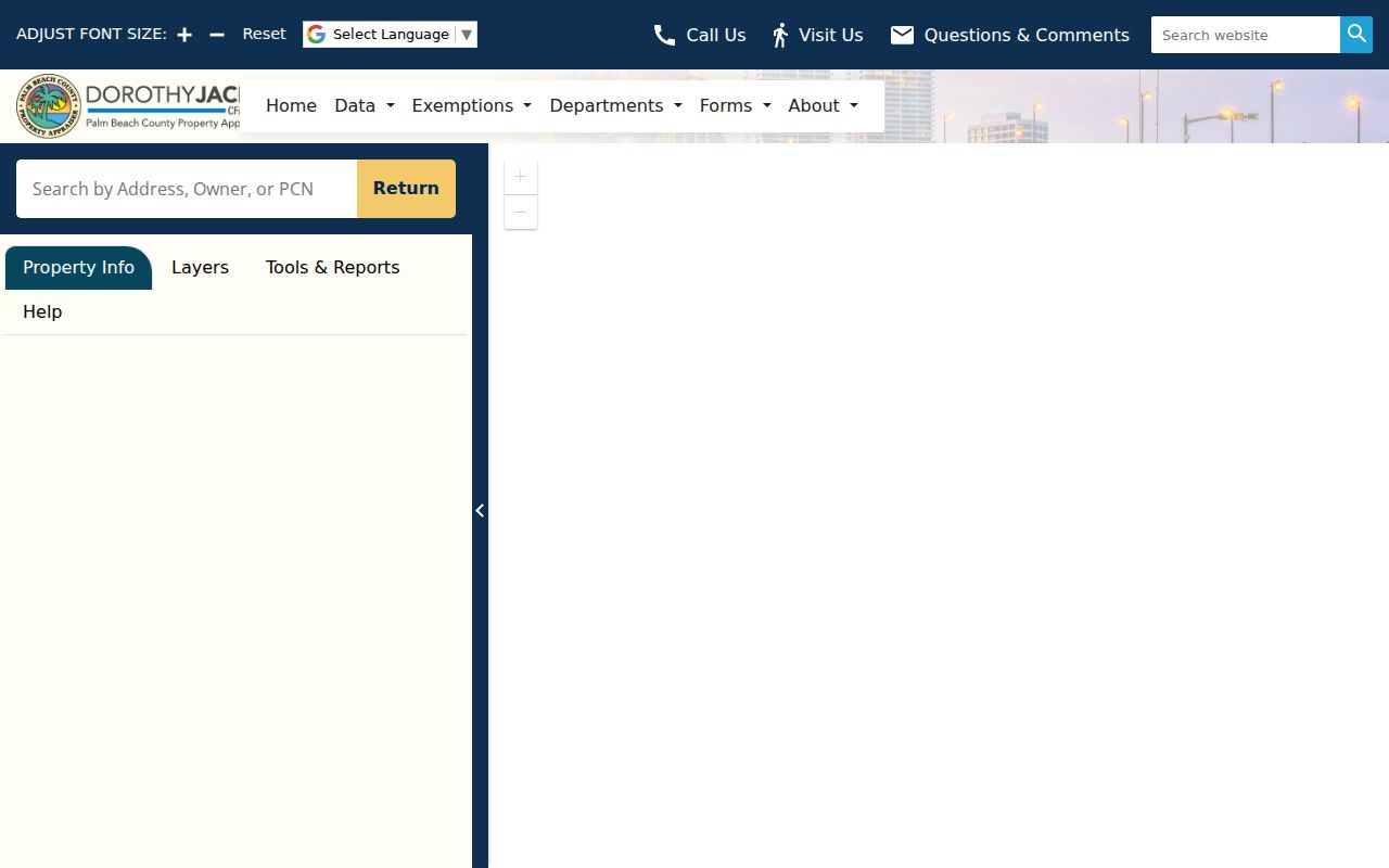
It provides spatial context, not a live household roster. The GIS Service Bureau also documents county mapping and addressing services.
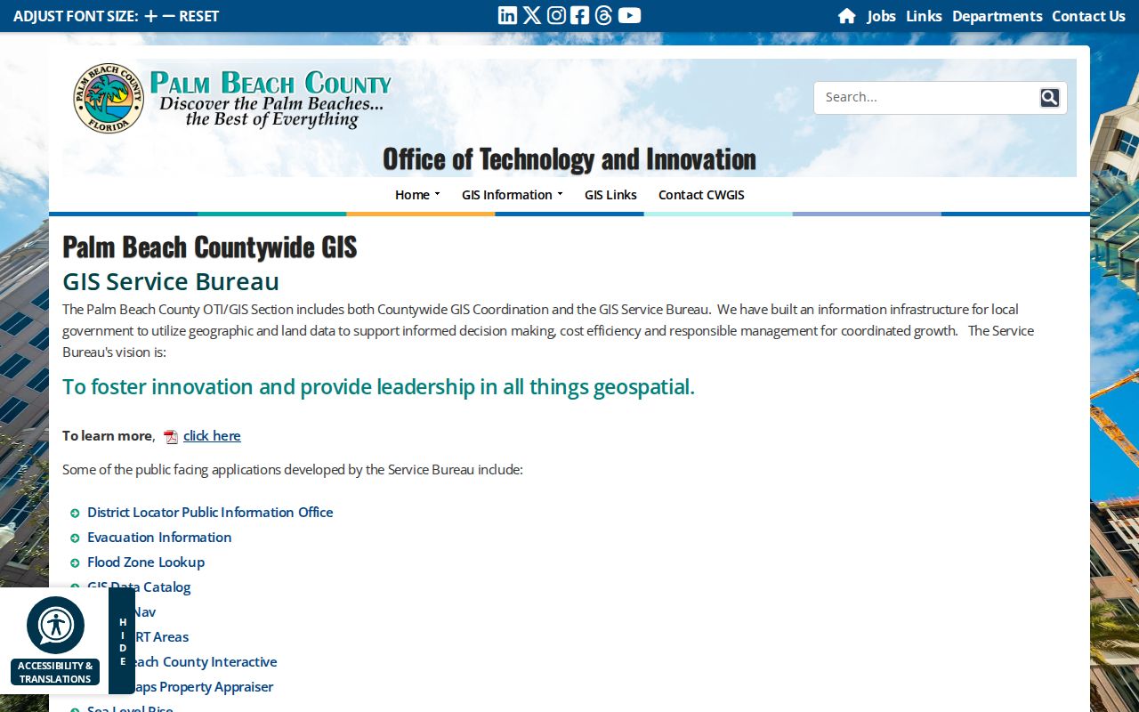
Use those services when parcel boundaries, municipal lines, or official address assignments need clarification.
Royal Palm Beach Street Terms
County records use a few terms that keep an address search precise.
- Parcel
- One mapped unit of land identified by a PCN.
- Situs address
- The physical location of the parcel, distinct from the owner's mailing address.
- Plat
- A recorded map that fixes subdivision, lot, block, dedications, and street layout.
- Criss-cross directory
- A directory arranged by street and house number rather than only by surname.
These terms also explain common mismatches. An owner can receive assessment mail elsewhere, and an older deed can describe only a subdivision lot with no modern house number.
Deeds Behind Royal Palm Beach Addresses
Once PAPA supplies the exact vesting name, PCN, and latest book and page, search the Clerk index. Official Records offers name, document type, date range, book/page, instrument number, parcel ID, and legal-description modes. A deed result identifies grantor and grantee roles, recording date, instrument number, and often an image. The deed itself may add execution date, legal description, consideration stamps, preparer, return address, witnesses, and notary.
A recorded deed proves a transfer, not residence. Follow the seller backward as an earlier grantee, then match the same lot and block. Online coverage is documented from January 1, 1968. For an earlier street directory chain, take the book/page or legal description to the Clerk's microfilm and public-record counter in Room 4.2500 at the Main Courthouse. Illegible images and certified copies also require Clerk help.
Royal Palm Beach Permit Trails
Village files add events tied to an exact property. Building records can identify a project, applicant, contractor, inspection, permit status, and approved plans. The public-facing ProjectDox environment requires registration and does not act as an open historic street index. Only applicants, invitees, and staff see an applicant's project.
When the portal does not expose the needed history, ask the Village Clerk for records by street, PCN, year range, and type. The contact is 1050 Royal Palm Beach Boulevard, 561-790-5100, clerk@royalpalmbeachfl.gov. Code files can carry notices, cited provisions, owner or respondent, lot and block, permit references, hearing posture, and a recorded lien. A complaint or notice is an allegation or procedural event, not proof of present occupancy.
Note: Narrow address and date ranges help the Village locate responsive permit or code files without turning the request into a broad roster search.
When Royal Palm Beach ZIPs Mislead
Royal Palm Beach is chiefly associated with 33411, but that ZIP extends far beyond village limits into unincorporated and western West Palm Beach territory. A southern village segment uses 33414, which is also shared with Wellington. USPS preferred city wording and ZIP delivery geography do not establish municipal jurisdiction.
Verify every parcel's municipality in county GIS. This matters when choosing a permit custodian or reading a street directory export. The Village resident packet even routes residents south of Southern Boulevard to Wellington Water Utilities, a clear example of postal, service, and municipal boundaries not lining up. No official village-wide street renumbering was found, so do not invent one to explain a mismatch. Use the PCN, legal description, and plat instead.
Royal Palm Beach Voters by Street
The Supervisor of Elections' My Status form requires first name, last name, and date of birth. It is meant for an individual voter to check status, precinct, polling information, vote-by-mail status, and participation history. It cannot be used to browse a street. Participation records only show whether voting was credited, never ballot choices.
For a lawful geographic extract, use the voter database request form or contact PublicRecords@votepalmbeach.gov and 561-656-6200. Ask whether street, ZIP, precinct, district, status, or other offered criteria can produce the needed file and request a cost estimate. Confidential identity fields and protected addresses remain withheld. Registered voters are only one subset of people connected to a block.
Reverse Directories for Royal Palm Beach
Historic address-first research uses criss-cross or reverse directory sections. Main Library has documented Polk issues reaching 1916 through 1980-81, Mandel Public Library has 1915-1935 reels for the wider area, and Riviera Beach Library holds a 1936-1987 run. Later suburban and metro editions are the useful part for Royal Palm Beach because the village incorporated in 1959 and its modern streets grew through the 1960s planned development.
Scan the street heading and house numbers, then compare nearby editions. An absent listing does not prove vacancy or a move. Coverage boundaries, unlisted households, abbreviations, and publication lag all create gaps. For land before the modern buildout, follow plats and deeds rather than forcing a current street into an early city volume.
Limits of Royal Palm Beach Street Records
A parcel-owner map is not a resident roll. PAPA omits renters and household members, and a homestead flag cannot establish who is physically present on a given day. Deeds prove recorded interests. Permits identify parties to a project. Voter files omit nonregistered people and shield exempt data. Historic directories list only covered and published households.
Protected-owner flags may suppress identity from public map feeds. Florida's Address Confidentiality Program supplies substitute addresses for eligible survivors, and other exemptions protect specified people and voter information. Driver records are controlled by the federal Driver's Privacy Protection Act. Do not try to defeat any suppression or use private utility and delivery data as substitutes.
Lawful use. Royal Palm Beach address records support family history, property research, civic review, and scam checks. Florida law does not permit stalking, harassment, threats, impersonation, or attempts to expose protected households.
Commercial compilations may be stale, merged, or wrongly attributed. Treat them only as unverified leads and return to the public custodian for the record date and source. A careful search by address ends with limits, not guesses.