
Royal Palm Beach ZIP Coverage
Two documented postal areas serve Royal Palm Beach. The 33411 area covers the central and northern village, but it also extends through large unincorporated and western West Palm Beach territory. The 33414 area clips the village south of Southern Boulevard and is shared with much of Wellington. Neither code can stand in for a legal boundary.
| Postal Area | Areas Covered | Post Office | Notes |
|---|---|---|---|
| 33411 | Central and northern village; broad areas beyond village limits | Royal Palm Beach, 1050 RPB Blvd Ste 123; Palms West, 10299 Southern Blvd | Shared far beyond Royal Palm Beach |
| 33414 | Southern village area south of Southern Boulevard; much of Wellington | Wellington, 12794 Forest Hill Blvd Ste K2 | Shared with Wellington; verify each parcel |
The Palms West station offers round-the-clock self-service and post-office boxes, along with passport service. The research found no separate PO-box-only or unique institutional code for the village, so the directory does not invent one. It also does not label 33470 a Royal Palm Beach code without parcel verification.
Verify Royal Palm Beach Postal Data
The USPS address lookup is the right first check for the preferred postal city and code assigned to a full street address. It answers a delivery question. It does not show whether the parcel is incorporated in Royal Palm Beach, which county services apply, or which local utility serves it.
Open the official USPS address lookup to confirm the mailing result.
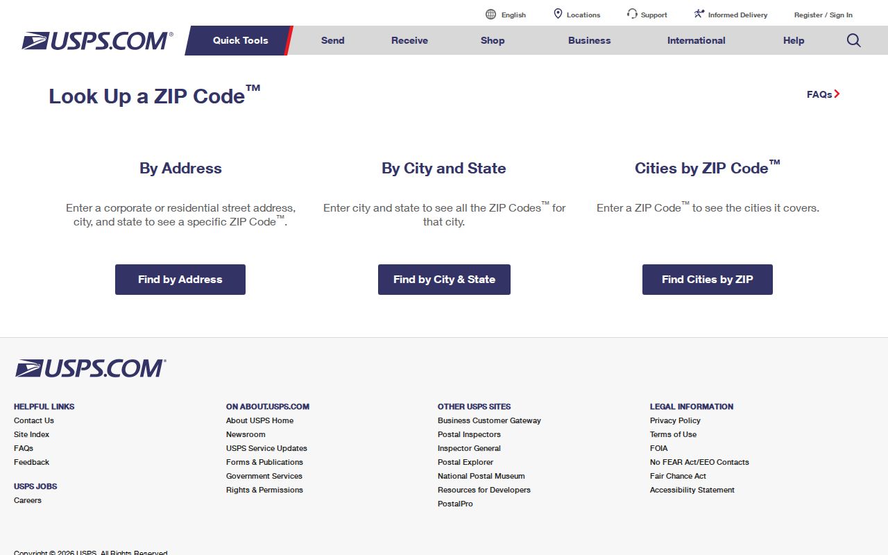
The result supplies the postal starting point that must then be checked against parcel and village boundaries.
| USPS field | Input | What it resolves |
|---|---|---|
| Street address | House number and street | Delivery address match |
| City and state | Entered postal locality | Candidate address context |
| Postal code | Known code, when available | Checks or narrows the match |
| Result | Standardized address | Preferred city, five-digit code and ZIP+4 when returned |
Find Royal Palm Beach Residents by ZIP
A ZIP-wide search is best used as a filter, not as a finished resident list. Sunbiz supports a ZIP search, but its results are Florida business filings and can include registered offices rather than homes. County GIS can pair a postal layer with municipality, annexation, parcel, and subdivision layers. PAPA is strongest after the search narrows to an owner, address, or parcel control number.
- Verify the full address with USPS. Save the standardized postal city, five-digit code, and ZIP+4 if returned.
- Open county GIS and display both ZIP and municipality layers. Narrow the view because large data queries may hit feature limits.
- Use PAPA with the situs address or parcel number. Keep the owner's mailing ZIP separate from the parcel's physical location.
- For a permitted voter extract, submit defined ZIP or precinct criteria to the Supervisor of Elections and ask for a cost estimate.
The Supervisor's My Status tool is an identity-gated individual check, not a browse-by-ZIP directory. A public voter database request can specify geographic criteria offered by the office, with exempt and protected fields withheld. Once the postal area has narrowed the task to a named road, use the Royal Palm Beach street directory for street-level work.
33414 South of Southern Boulevard
The village's resident packet gives a concrete test of overlapping geography. Royal Palm Beach residents south of Southern Boulevard in 33414 are directed to Wellington Water Utilities at 561-791-4010, while Palm Beach County Water Utilities serves the other listed area at 561-740-4600. A resident can therefore live inside Royal Palm Beach, use a ZIP shared with Wellington, and receive a service associated with Wellington.
This is the Profile 3 geography interest at its clearest. The postal line, incorporated line, utility area, voting district, and parcel boundary can all describe the same address in different ways. For a records request, send it to the office that owns the service or record, not the city suggested by the mailing label.
Map Royal Palm Beach ZIP Records
Palm Beach County GIS includes ZIP, municipality, annexation, subdivision, parcel, and district layers. View ZIP and municipality together, then click the parcel to confirm where a border actually falls. County services note that many REST queries are capped at 1,000 or 2,000 features, so a sweep should use a small map extent or a tighter filter instead of trying to export an entire shared ZIP at once.
PAPA then supplies the parcel control number, situs address, municipality, legal description, subdivision, owner mailing lines, and sales links. Mailing ZIP is a contact field. Situs is the physical parcel address. Neither field alone should be used to claim a person occupies the property.
When a layer or map does not settle the address, the county public-record request route directs the question to the right custodian.
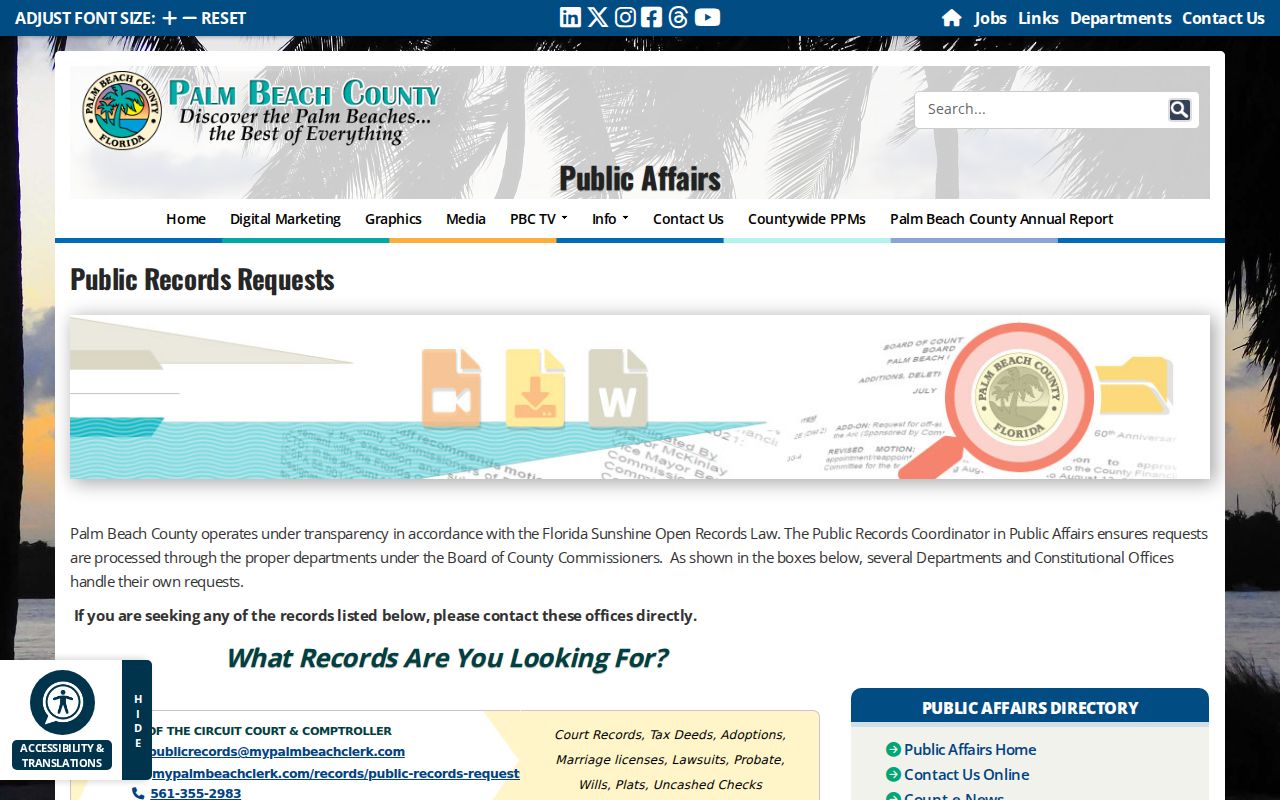
This fallback matters for addressing data that cannot be confirmed through the public map interface.
Royal Palm Beach Address History
Royal Palm Beach does not have an old downtown street grid that predates the village. Incorporation came in 1959, and the planned buildout took shape in the 1960s. Royal Palm Beach Boulevard extended north from Southern Boulevard by 1965; the golf course, lake, and paved roads were in place by 1967. Earlier research is more likely to follow land, deeds, and plats than a modern house number or postal code.
A parcel number and legal description can persist when postal wording shifts. That makes them better keys for older land research than a postal directory. No official village-wide street renumbering or dated ZIP realignment was located in the research, so a change should be verified in an actual parcel, plat, or addressing record rather than assumed.
Filter Royal Palm Beach Filings
Sunbiz is one of the few researched portals with explicit ZIP and street-address modes. Its ZIP results can reveal entities whose principal, mailing, or registered-agent filings use 33411 or 33414. The same portal also searches entity names, officers, registered agents, fictitious names, partnerships, and liens. Filed annual-report PDFs can preserve an earlier contact address and filing role.
| Sunbiz mode | Input | Result meaning |
|---|---|---|
| Postal area | Five-digit code | Business filings associated with that postal code |
| Street Address | Filed street wording | Entities using the address in a state filing |
| Officer or agent | Last, first, middle initial | Named filing role and associated entity |
| Document number | Exact identifier | Direct entity or filing retrieval |
A filing address is not a household roster. It may be an office, accountant, registered agent, or prior mailing point. In a Royal Palm Beach postal search, use the state filing to identify the entity and role, then verify the physical parcel through PAPA and the municipal line through GIS.
Request Royal Palm Beach ZIP Data
Florida Public Records Law allows a focused request for existing nonexempt records. The Palm Beach County Supervisor of Elections publishes a voter database request form that can define selected geography, precinct, district, status, and delivery criteria as the current form permits. Ask whether ZIP is an available field, state the desired format, and request a cost estimate. Fees can reflect media, duplication, and extensive staff or programming work.
The individual My Status form requires first name, last name, and date of birth. It is meant for the registrant's own status, polling, and participation details. It should not be repurposed as a ZIP-wide tool. Public voter data may include name, permitted residence or mailing fields, precinct, district, registration status, and participation history, but protected fields and addresses are withheld. Participation shows whether a voter was credited with voting, never how a ballot was marked.
Keep geography narrow. A request for one ZIP may still cover addresses outside Royal Palm Beach, so pair the result with a municipal boundary field when available.
Royal Palm Beach ZIPs Versus Limits
USPS assigns postal routes for mail delivery. Royal Palm Beach establishes an incorporated boundary, while Palm Beach County maintains parcel and service geography. The 33411 postal area reaches far outside the village. The 33414 area is shared with Wellington and includes the village's southern segment. The preferred postal city returned for an address does not prove municipal jurisdiction.
- ZIP versus ZIP+4
- A five-digit ZIP identifies a delivery area. The extra four digits narrow a segment such as a block, building, or group of boxes.
- PO-box ZIP
- A code used chiefly or only for post-office boxes rather than ordinary street delivery.
- Unique ZIP
- A code assigned to one high-volume organization or institution.
- Carrier route
- The group of delivery points served by one postal route, which may cross other civic lines.
Use the postal directory for the broad slice, then confirm the parcel's municipality and the agency that holds the desired record. The distinction prevents a shared Royal Palm Beach mailing code from sending a request to the wrong clerk, utility, or planning office.